The Challenge
To conserve and preserve a fragile 18th-century map and protect the piece for future display.
The Solution
Optium Museum Acrylic®
Anti-reflective
Allows viewers to see the map rather than their own reflections.
Acrylic is half the weight of glass and shatter resistant
Safeguards against injury and damage to the map and visitors.
Anti-static protection exceeds that of glass
Immediately eliminates static charge. Makes for safer, easier framing, and less cleaning.
Abrasion resistant
A durable hard coat to extend the life of the map with protection against scratches from cleaning and general exposure to the public.
99% UV blocking
Protects the map from the most damaging light wavelengths, helping prevent fading and degradation, and allowing optimal lighting conditions for enhanced visibility.
The Work
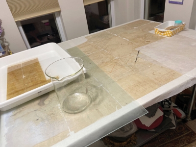
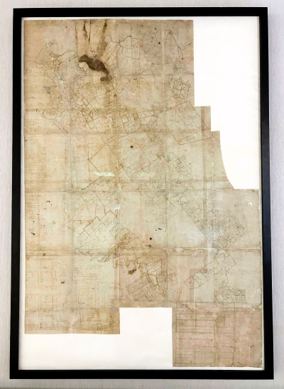
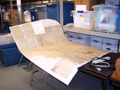
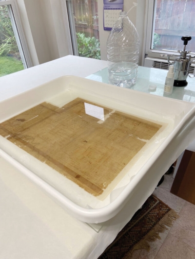
The 40-by-60-inch (101.6 x 152.4 cm) map, executed in iron gall ink on laid paper, represents land holdings from the late 18th century, including tracts once owned by George Washington and Albert Gallatin. Commissioned by the North American Land Company, a large speculative real estate venture founded in 1795, the map played a crucial role in tracking land ownership and availability. Reassembly using a Dacron lining, mulberry paper, and wheat starch paste, coupled with precise inpainting of fold line gaps, enhanced the visual experience by seamlessly integrating the fragmented sections.
More Info
Read our QuickVue article for details on the map’s conservation treatment funded in part by FAIC/Tru Vue Conservation & Exhibition grant and its preparation for display
High quality archival framing was performed by FrameSmith in Pittsburgh, PA.
The document was expertly and carefully restored by Steel City Art Conservation
Read about the unveiling of the restored map.


